Mapping the Ballot: How Zambia's Electoral Boundaries Distribute Representation
Zambia's governance framework relies on a tiered system of parliamentary constituencies and local council wards to balance national and provincial representation. Here is an overview of how the electoral map is structured.
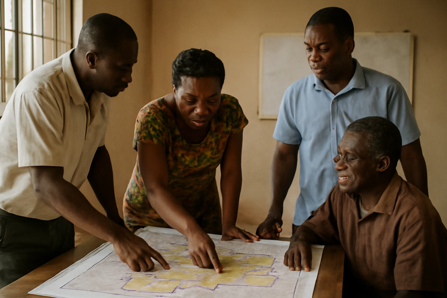
Zambia organises its governance through a structured multi-tiered electoral map that balances presidential, legislative, and local administration across its ten provinces. At the central level, the Electoral Commission of Zambia manages the boundaries and voting procedures that dictate how citizens elect their leaders, ranging from the head of state to local council representatives.
Understanding the mechanics of this framework reveals how power is distributed throughout the Southern African nation. The system is designed to provide direct representation from rural and urban communities up to the National Assembly in Lusaka.
How Is Representation Structured?
The national legislative body relies on a constituency-based model to select parliamentary representatives. According to reporting by the Maravi Post, the electoral map is divided into 226 constituencies across the country.
Each constituency corresponds to a specific geographic area within a province, returning a single member of parliament to the legislature. These parliamentary divisions are established based on demographic density, geographic size, and administrative boundaries to ensure regional representation.
Parallel to the presidential vote, parliamentary elections allow voters to choose direct local advocates for national lawmaking and budget allocation.
How Do Local Wards Work?
Beneath the parliamentary constituency level, Zambia's electoral framework splits further into local government wards. These wards form the foundational layer of the nation's democratic administration, providing civic governance through municipal, city, and district councils.
Ward councillors elected from these micro-units handle localized public services, community development plans, and regional infrastructure projects. By nesting local council wards within larger parliamentary constituencies, the system establishes a direct administrative link between grass-roots municipal issues and national policymaking.
This sub-district layering ensures that both densely populated urban centres, such as Lusaka and Copperbelt provinces, and expansive rural regions maintain structured administrative oversight.
What Dictates the Count?
During national elections, vote collation follows a strict hierarchical chain monitored by the official electoral body. Results are initially gathered, verified, and tallied at individual polling stations within local wards before moving upward to the constituency tallying centres.
Once local returning officers certify constituency totals across the 226 administrative zones, the aggregated figures are transmitted directly to the central collation centre managed by the national electoral commission.
This step-by-step verification structure is designed to maintain transparency across all administrative tiers, allowing observers, political parties, and the public to track local ward returns as they feed into national legislative and presidential outcomes.
What Comes Next?
As demographic shifts and urbanization continue across Zambia's provinces, the electoral management body periodically reviews constituency and ward boundaries. Future boundary reviews will determine whether additional constituencies are required to preserve balanced voter representation across growing population hubs and vast rural districts.