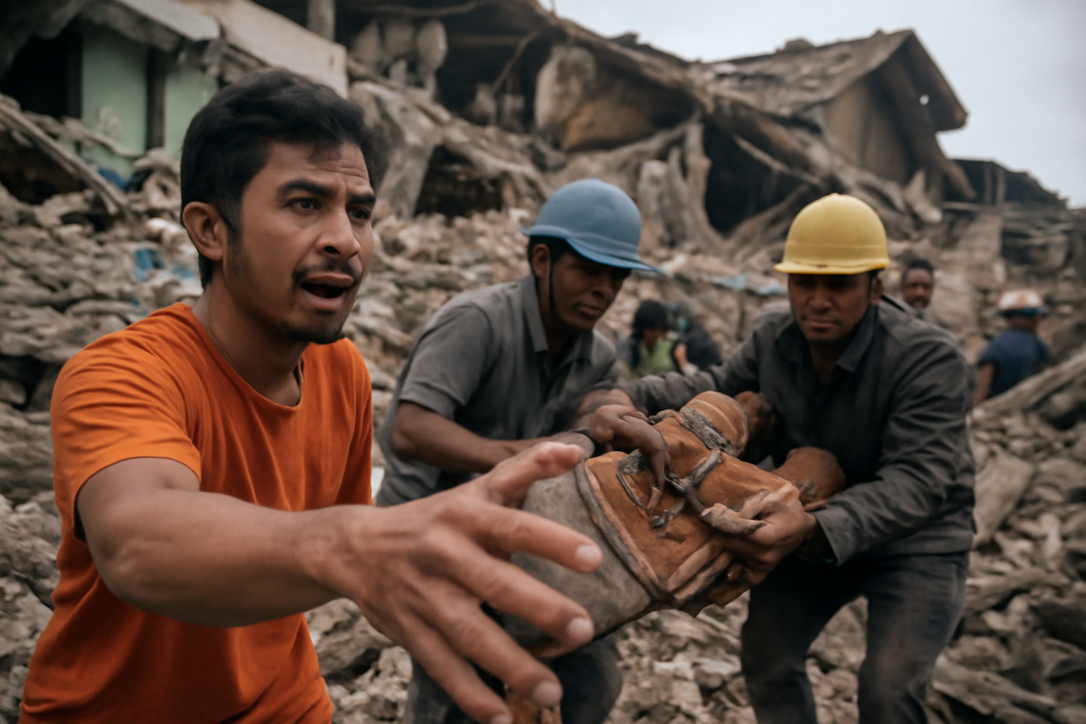
Indonesia Earthquake: Mapping Confirmed Data and Unknowns in Early Reporting
As disaster management agencies respond to a magnitude 7.7 earthquake in Indonesia, early reporting highlights the balance between automated seismic data and verified ground conditions.
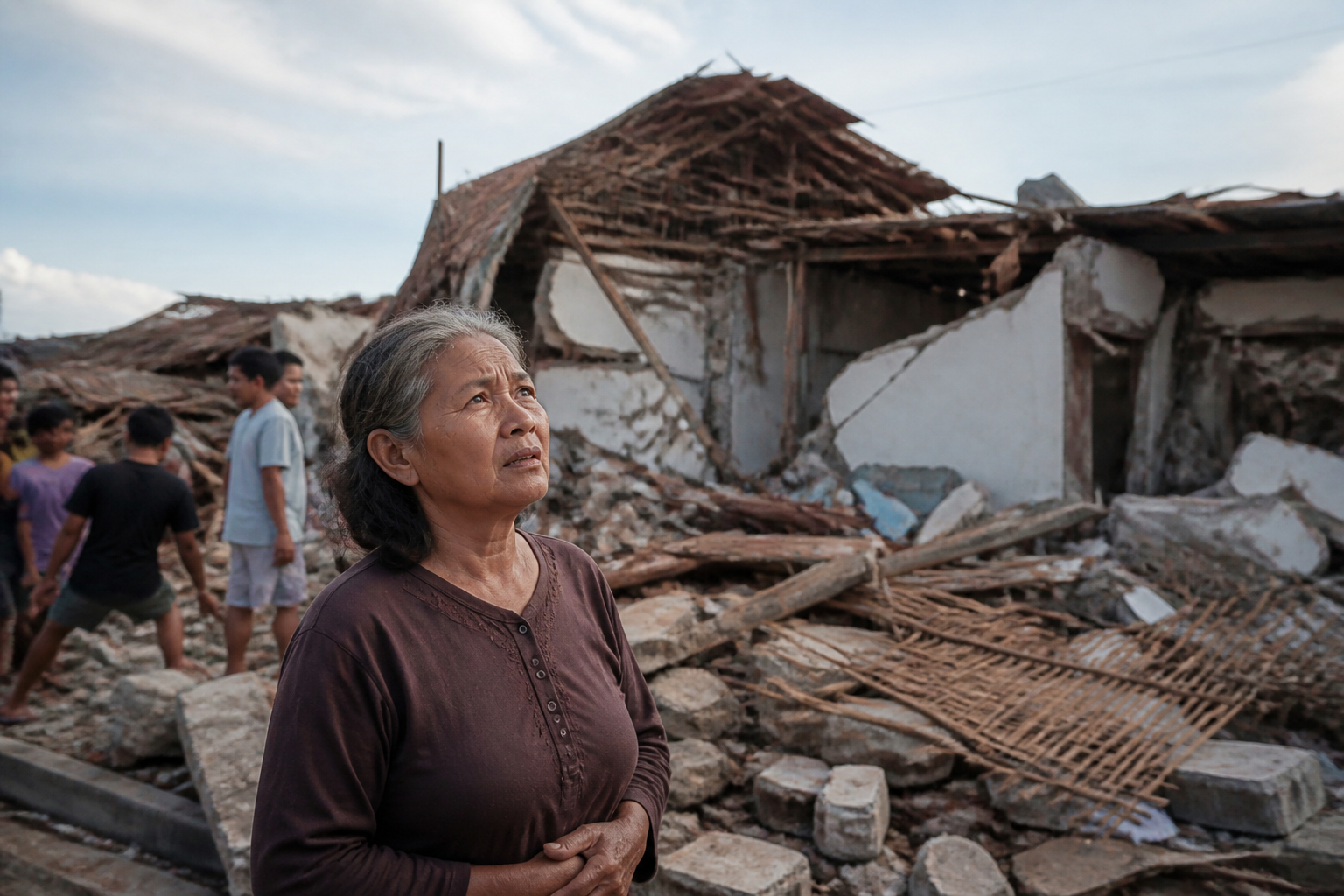
Emergency reporting during high-magnitude seismic events in archipelagic nations poses significant verification challenges for international newsrooms and disaster management agencies. Early data streams during major tectonic disruptions frequently display wide variances between initial instrument readings and on-the-ground damage assessments, making early audit trails essential for evaluating the scope of impact.
According to initial disaster alerts published by Al Jazeera, a powerful magnitude 7.7 earthquake struck Indonesia, with early reports citing at least 38 fatalities. In the immediate aftermath of such high-magnitude events, official tallies remain fluid as local emergency services work to re-establish communication links with remote coastal and island communities.
Determining the full human and material toll requires balancing rapid seismological telemetry with verified updates from disaster mitigation boards, municipal authorities, and regional medical facilities.
Seismological Mechanics and Initial Data Baselines
Seismological agencies measure early earthquake magnitude using automated network arrays, which provide an immediate estimate of epicenter coordinates, depth, and energy release. A magnitude 7.7 earthquake represents a severe tectonic event capable of causing structural collapse over broad spatial radii, particularly in regions dominated by unreinforced masonry structures.
In Indonesia, an archipelago located along the Pacific "Ring of Fire", seismic risk is amplified by complex tectonic intersections involving the Indo-Australian, Sunda, and Philippine Sea plates. Early reporting must distinguish between the physical magnitude recorded at the epicenter and the local intensity experienced across populated areas.
During major events, initial casualty counts often represent only localized reports from primary urban centers where communications remain operational. According to disaster response protocols, secondary hazards—including aftershocks, landslides, and localized tsunamis—frequently hamper early assessment teams, leaving rural or isolated zones unverified during the first operational reporting cycles.
M360 News · Data
Early Seismic and Casualty Metrics
Key automated telemetry and confirmed casualty metrics reported in the immediate aftermath
7.7
Earthquake Magnitude
38
Initial Reported Fatalities
Initial figures reported shortly after the tectonic disruption.
Source: Al Jazeera. Chart by M360 News.
Mapping the Information Gap in Early Reporting
The primary challenge in mapping early seismic reports involves separating confirmed metrics from developing estimates. In major disaster scenarios, standard analytical frameworks categorize early information into three distinct bands: verified physical parameters, early casualty counts, and unverified infrastructure damage.
| Information Category | Verified Metrics | Developing / Unverified Parameters |
|---|---|---|
| Seismology | Magnitude (7.7), automated epicenter data | Full rupture length, precise aftershock distribution |
| Casualties | Initial death tolls reported by news outlets (e.g. 38) | Total casualties, missing persons in isolated zones |
| Infrastructure | Immediate regional blackout reports, major transport cuts | Total economic loss, structural safety of rural bridges and dams |
Disaster response experts note that early casualty figures typically rise as search and rescue teams gain access to collapsed infrastructure. Conversely, initial reports of physical damage may fluctuate as municipal engineers evaluate structural integrity across impacted sectors.
Economic damage assessments following major disasters require weeks of detailed structural audits. Financial losses from natural disasters routinely extend beyond immediate physical destruction to include supply chain disruptions, localized commercial displacement, and emergency relief expenditures.
To contextualize emergency funding requirements, regional disaster funds typically mobilize resources ranging from tens of millions of dollars to hundreds of millions, depending on the severity of the damage. For instance, temporary relief allocations of $50 million (about KSh 6.46 billion) to $100 million (about KSh 12.92 billion) are often requested by international humanitarian coalitions during the initial stabilization window for high-magnitude events.
Institutional Response and Verification Steps
Following a magnitude 7.7 earthquake, national disaster agencies deploy search and rescue teams while regional medical networks establish triage centers. International humanitarian networks wait for official state requests before mobilizing overseas emergency assets.
Over the coming hours and days, disaster management authorities will focus on verifying three key metrics: structural integrity of critical transportation corridors, safety of maritime and aviation infrastructure, and stabilization of utility networks. Information updates from verified ground sources will dictate the scale and duration of the emergency response effort.