Mapping Myanmar's monsoon footprint: Where seasonal flooding hits hardest
An overview of how seasonal monsoon dynamics create recurring flood risks across Myanmar's river deltas, central valleys, and coastal regions.
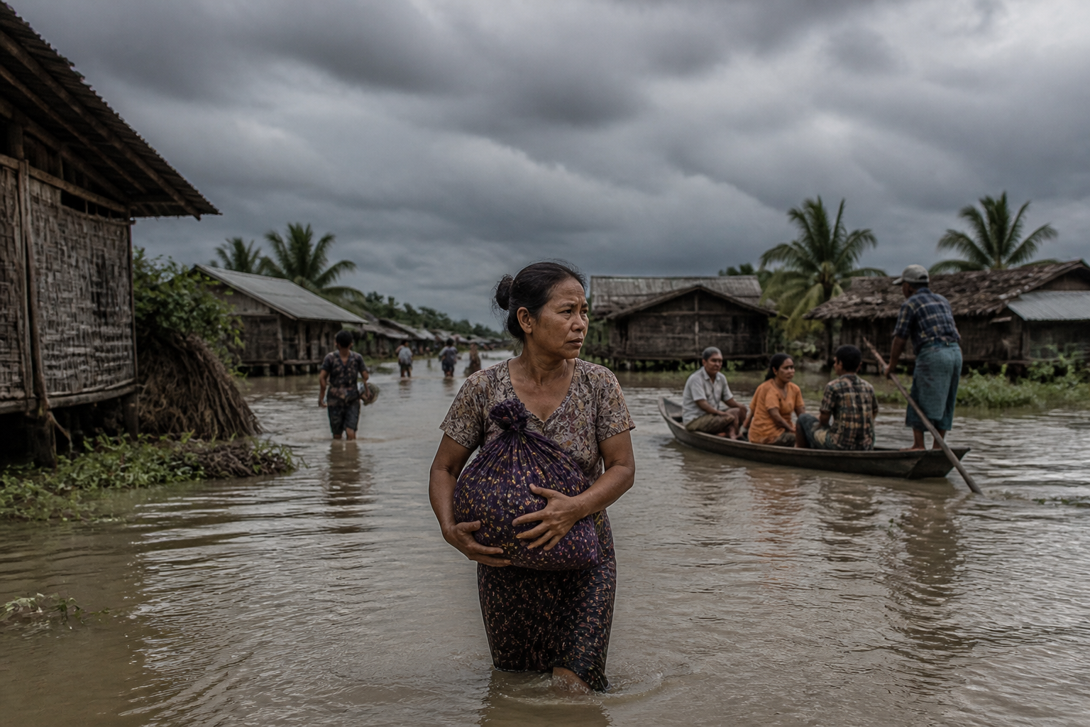
Every year between May and October, the southwest monsoon transforms Myanmar's landscape, sweeping moisture across the Bay of Bengal to bring vital rainfall to millions of farmers. However, according to regional meteorology reports and disaster monitoring tracking, the same seasonal weather system routinely turns into a destructive force, triggering widespread inundation across low-lying river basins and coastal regions. (France24)
Seasonal flooding in Myanmar follows a distinct geographic footprint, with the southern delta, central dry zone river valleys, and coastal strips bearing the brunt of the deluge. According to disaster management records, the Ayeyarwady Delta and the low-lying plains along the Sittaung and Thanlwin rivers face severe inundation almost annually as heavy rains combine with high tides and swollen river systems.
When heavy monsoon downpours strike the northern and eastern highlands, vast volumes of runoff flow south through the country's major river arteries. This hydrological dynamic regularly submerges farmland, cuts off transport networks, and displaces tens of thousands of residents in rural townships.
Regional Geography and Flood Vulnerability
Myanmar's topography plays a central role in dictating which areas suffer the worst seasonal damage. The low-lying Ayeyarwady Delta, often referred to as the country's rice bowl, is particularly susceptible to coastal surges and riverbank overflows during peak monsoon months from July to September.
Further inland, the Bago and Ayeyarwady regions regularly experience prolonged flooding when regional drainage systems become overwhelmed. Historical disaster data shows that coastal areas in Rakhine State and Tanintharyi Region also endure dual threats from heavy monsoon rainfall and seasonal tropical depressions forming in the Bay of Bengal.
In hilly border regions like Shan State and Kachin State, the monsoon manifests differently, often triggering sudden flash floods and severe landslides. These upstream events accelerate the flow of water and sediment downstream, compounding flood risks for urban centres and agricultural communities in the central plains.
Historical Impact and Humanitarian Challenges
The recurring nature of monsoon flooding presents severe economic and humanitarian hurdles for affected communities. Vast stretches of paddy fields are frequently submerged during critical planting and harvesting cycles, threatening local food security and agricultural livelihoods.
Emergency response efforts are routinely stretched as floodwaters wash away bridge connections, inundate rural roads, and contaminate local water supplies. Regional authorities and international relief agencies often struggle to deliver medical supplies, clean drinking water, and temporary shelter to remote villages isolated by rising waters.
Despite ongoing local early-warning initiatives and weather tracking by state agencies, structural challenges in flood defences and drainage infrastructure leave vulnerable populations highly exposed each rainy season.
What Happens Next
Meteorological monitoring continues across the Bay of Bengal as seasonal weather patterns unfold. Civil defence agencies and humanitarian groups remain on high alert during the peak monsoon window, monitoring river levels along the Ayeyarwady and Sittaung rivers to issue timely evacuation advisories to riverside communities.