Himalayan Terrain Challenges: Why Nepal’s Geography Complicates Disaster Mitigation
Nepal’s mountainous landscape and fast-expanding urban settlements present unique structural challenges for civil engineering and disaster risk management across the region.
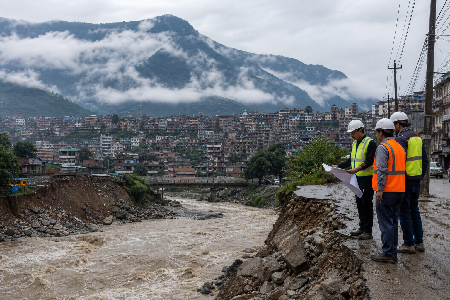
Nepal's vulnerable topographies and rapid urbanization significantly complicate its ability to manage extreme weather events. The high elevation of the Himalayan nation, paired with rugged landscapes, limits structural development and makes traditional disaster management infrastructure exceptionally difficult to build and sustain.
As urban centers expand along river basins and steep valley slopes, the natural buffer zones that historically absorbed high precipitation are disappearing. Densely populated settlements like Kathmandu face unique engineering bottlenecks, as existing drainage networks struggle to manage modern rainfall volumes.
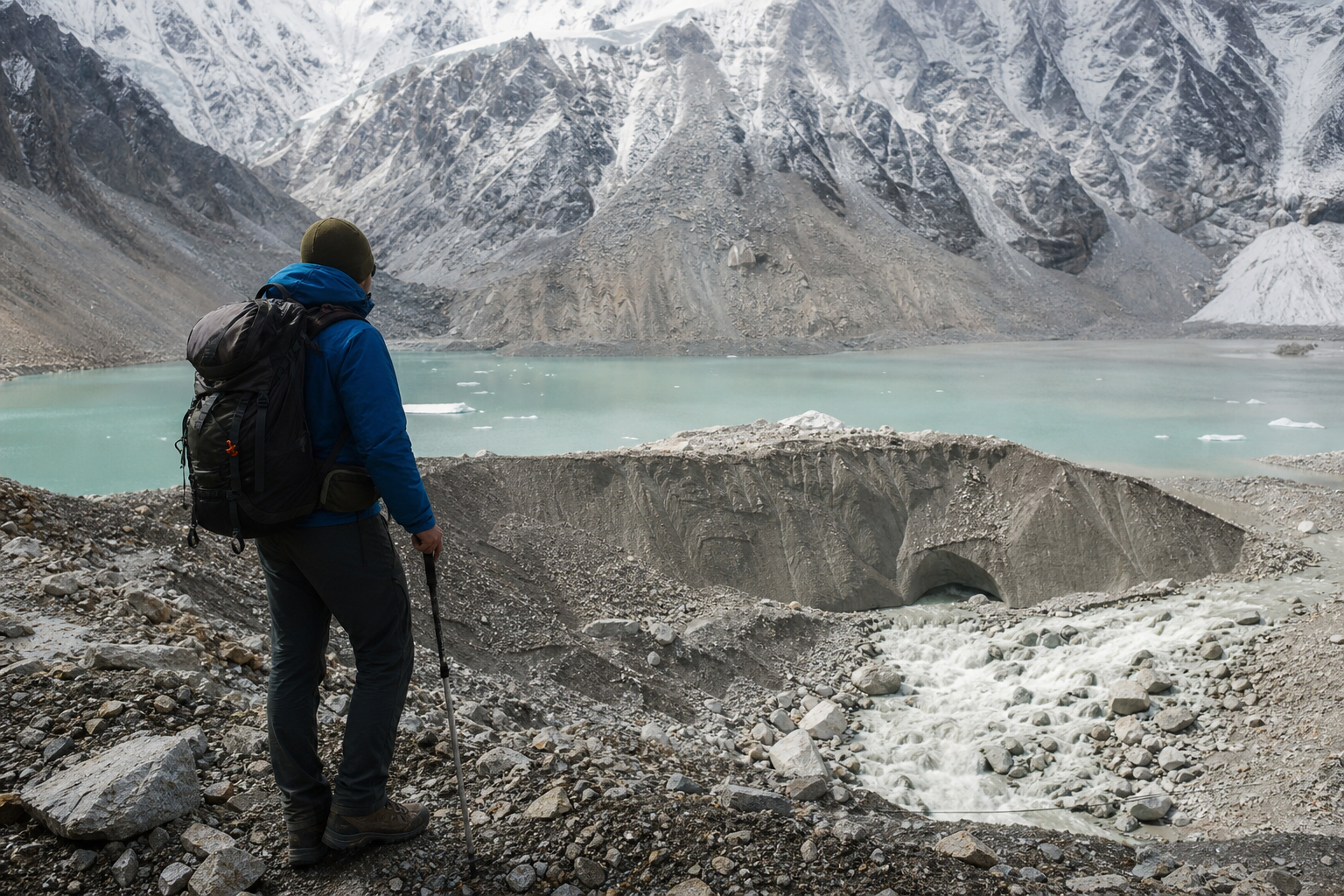
Geological factors, including unstable soil structures and seismic activity, leave mountain roads and containment systems highly susceptible to erosion and sudden collapse. Implementing long-term engineering interventions requires navigating terrain that remains prone to flash flooding, soil displacement, and structural degradation.
Why Is Infrastructure At Risk?
Building resilient public infrastructure in mountainous terrain demands specialised engineering techniques that carry steep financial burdens. Standard drainage solutions, bridge foundations, and retaining structures face frequent degradation caused by the dynamic natural environment of the Himalayas.
Infrastructure failure often triggers secondary challenges, isolating remote villages and blocking emergency access routes when events strike. Rural road developments, built without comprehensive environmental impact assessments, frequently disturb hillside equilibrium and accelerate land degradation.
Planning agencies struggle to keep pace with rapid rural-to-urban migration, which forces informal settlements onto vulnerable land along riverbanks and steep slopes. These informal developments lack structural enforcement, compounding the physical risk to inhabitants during heavy rain periods.
What Engineering Solutions Exist?
Modern disaster mitigation strategy in mountainous regions is shifting toward early warning systems combined with hybrid green-gray infrastructure. Slope stabilization techniques, including bio-engineering and retaining walls, are being deployed to reinforce critical transportation corridors.
Regional cooperation and dedicated climate financing remain key components for mountain nations looking to upgrade physical resilience.
Sustainable urban planning requires land-use zoning that restricts construction on vulnerable slopes and active floodplains. However, balancing rapid economic development with strict environmental regulation remains a persistent administrative challenge for developing nations.
What Happens Next?
Engineers and urban planners are increasingly looking toward satellite technology and real-time sensor networks to track environmental indicators in high-altitude environments. Automated monitoring of water levels and hillside movements can offer critical lead time for downstream evacuations.
Local authorities face growing pressure to update building codes and enforce strict environmental impact assessments for all new civil projects. Developing sustainable, long-term drainage systems will require substantial investment alongside regional technical cooperation.
As mountain populations grow, disaster resilience will depend on integrating physical engineering solutions with localized risk management strategies to safeguard infrastructure against geography-driven hazards.